Lêer:Mexico location map.svg

Size of this PNG preview of this SVG file: 800 × 522 piksels. Ander resolusies: 320 × 209 piksels | 640 × 418 piksels | 1 024 × 668 piksels | 1 280 × 835 piksels | 2 560 × 1 670 piksels | 2 028 × 1 323 piksels.
Oorspronklike lêer (SVG-lêer, normaalweg 2 028 × 1 323 piksels, lêergrootte: 600 KG)
Opsomming
| Beskrywing |
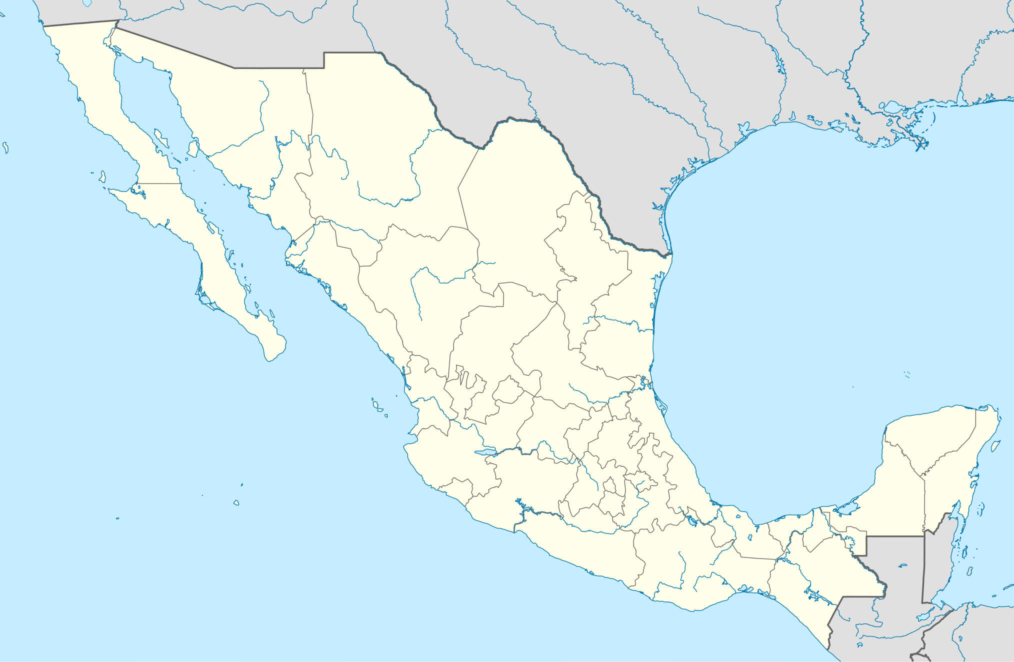
Deutsch: Positionskarte von Mexiko
Quadratische Plattkarte, N-S-Streckung 110 %. Geographische Begrenzung der Karte:
Español: Mapa de la ubicación de México
Proyección equirectangular, N / S se extiende al 110 %. Límites geográficos del mapa:
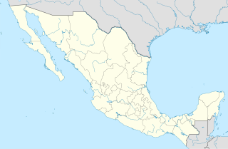
English: Location map of Mexico
Equirectangular projection, N/S stretching 110 %. Geographic limits of the map:
Հայերեն: Մեքսիկայի տեղորոշման քարտեզ
Ուղղանկյուն պրոյեկցիա, Հյուսիս-Հարավ ձգվածությունը՝ 110%։ Քարտեզում աշխարհագրական սահմանները.
|
| Datum | 11-03-2009 |
| Bron |
own work, using
|
| Outeur | NordNordWest |
| Ander weergawes |
Derivative works of this file: Islands of Mexico.svg
|


|
This map has been made or improved in the German Kartenwerkstatt (Map Lab). You can propose maps to improve as well.
|
Lisensiëring
Ek, die outeursreghouer van hierdie werk, publiseer dit onder die volgende lisensie:

|
Toestemming word verleen tot die kopiëring, verspreiding en/of wysiging van hierdie dokument onder die voorwaardes van die GNU-lisensie vir vrye dokumentasie, weergawe 1.2 of enige latere weergawe uitgegee deur die Stigting vir Vrye Sagteware, sonder Invariante Dele, geen Voorbladtekste en geen Agterbladtekste. 'n Kopie van hierdie lisensie is ingesluit in die afdeling getiteld GNU Free Documentation License. |
This file is licensed under the Creative Commons Attribution 3.0 Unported license.
- U is vry:
- om te deel – die werk kopieer, versprei en deurgee
- om te hermeng – om die werk aan te pas
- Onder die volgende voorwaardes:
- naamsvermelding – U moet die nodige krediet gee, 'n skakel na die lisensie verskaf en aandui of daar veranderinge aangebring is. U mag dit op enige redelike manier doen, maar nie op enige manier wat daarop dui dat die lisensiegewer u of u gebruik onderskryf nie.
U kan die lisensie van u keuse kies.
Lêergeskiedenis
Klik op die datum/tyd om te sien hoe die lêer destyds gelyk het.
| Datum/Tyd | Duimnael | Dimensies | Gebruiker | Opmerking | |
|---|---|---|---|---|---|
| huidig | 14:04, 24 Julie 2012 | | 2 028 × 1 323 (600 KG) | NordNordWest | upd |
| 18:34, 11 Maart 2009 |  | 2 029 × 1 326 (861 KG) | NordNordWest | {{Information |Description= {{de|Positionskarte von Mexiko}} Quadratische Plattkarte, N-S-Streckung 110 %. Geographische Begrenzung der Karte: * N: 33.3° N * S: 14.2° N * W: 118.5° W * O: 86.3° W {{en|Location map of [[:en:Mexico|Mexico |
Lêergebruik
Die volgende 18 bladsye gebruik dié lêer:
Globale lêergebruik
Die volgende ander wiki's gebruik hierdie lêer:
- Gebruik in als.wiki.x.io
- Gebruik in an.wiki.x.io
- Ciudat de Mexico
- Tequixquiac
- Pachuca de Soto
- Apaxco
- Apaxco de Ocampo
- Acapulco de Juárez
- Jaltenco
- Zumpango (municipio)
- Nextlalpan
- Hueypoxtla (municipio)
- Naucalpan de Juárez
- Amecameca
- Tijuana (municipio)
- Acambay
- Toluca (municipio)
- Acolman
- Tonanitla
- Atizapán de Zaragoza
- Ecatepec de Morelos
- Tecate (municipio)
- Mexicali (municipio)
- Playas de Rosarito
- Municipio de Ensenada (Baixa California)
- Atlacomulco
- Aculco
- Ixtapaluca
- Huehuetoca
- Atenco
- Ixtlahuaca
- Malinalco (municipio)
- Guadalajara (Jalisco)
- Zapopan
- Plantilla:Mapa de localización Mexico
- Gebruik in ar.wiki.x.io
- Gebruik in ast.wiki.x.io
Wys meer globale gebruik van die lêer.