Lêer:Topographic30deg N30E90.png

Grootte van hierdie voorskou: 600 × 600 piksels. Ander resolusies: 240 × 240 piksels | 480 × 480 piksels | 768 × 768 piksels | 1 024 × 1 024 piksels | 1 800 × 1 800 piksels.
Oorspronklike lêer (1 800 × 1 800 piksels, lêergrootte: 1,81 MG, MIME-tipe: image/png)
Opsomming
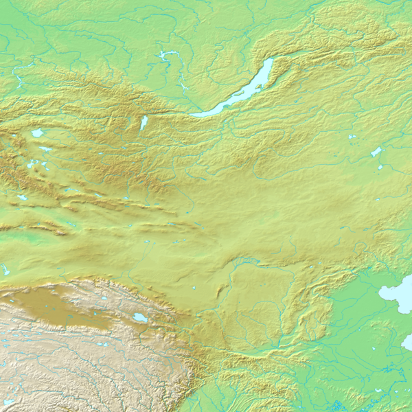
Español: N30-60, E90-120
Topographic map 90deg, North latitude: 0 - 90, East longitude: 60 - 150
Topographic map 90deg, North latitude: 0 - 90, East longitude: 60 - 150
|
| ||||||||||||||||||||||||


Map created from DEMIS Mapserver[dead link], which are public domain. Koba-chan

|
Toestemming word verleen tot die kopiëring, verspreiding en/of wysiging van hierdie dokument onder die voorwaardes van die GNU-lisensie vir vrye dokumentasie, weergawe 1.2 of enige latere weergawe uitgegee deur die Stigting vir Vrye Sagteware, sonder Invariante Dele, geen Voorbladtekste en geen Agterbladtekste. 'n Kopie van hierdie lisensie is ingesluit in die afdeling getiteld GNU Free Documentation License. |
| Hierdie lêer is gelisensieer onder die Creative Commons Erkenning-Insgelyks Deel 3.0 Onoorgedraagde lisensie. | ||
| ||
| This licensing tag was added to this file as part of the GFDL licensing update. |
Lêergeskiedenis
Klik op die datum/tyd om te sien hoe die lêer destyds gelyk het.
| Datum/Tyd | Duimnael | Dimensies | Gebruiker | Opmerking | |
|---|---|---|---|---|---|
| huidig | 12:44, 25 Augustus 2010 | | 1 800 × 1 800 (1,81 MG) | Maulucioni | adding lakes |
| 17:21, 26 Mei 2005 |  | 1 800 × 1 800 (1,97 MG) | Koba-chan | ---- Map created from [http://www2.demis.nl/mapserver/mapper.asp DEMIS Mapserver], which are public domain. Koba-chan {{GFDL}} Category:Topographic maps Category:Earth |
Lêergebruik
Die volgende 4 bladsye gebruik dié lêer:
Globale lêergebruik
Die volgende ander wiki's gebruik hierdie lêer:
- Gebruik in ar.wiki.x.io
- Gebruik in ba.wiki.x.io
- Gebruik in bg.wiki.x.io
- Gebruik in bn.wiki.x.io
- Gebruik in cs.wiki.x.io
- Gebruik in dsb.wiki.x.io
- Gebruik in en.wiki.x.io
- Gebruik in es.wiki.x.io
- Gebruik in eu.wiki.x.io
- Gebruik in fa.wiki.x.io
- Gebruik in fr.wiki.x.io
- Gebruik in gl.wiki.x.io
- Gebruik in ja.wiki.x.io
- Gebruik in kn.wiki.x.io
- Gebruik in ku.wiki.x.io
- Gebruik in mk.wiki.x.io
- Gebruik in ms.wiki.x.io
- Gebruik in nl.wiki.x.io
- Gebruik in nn.wiki.x.io
- Gebruik in pl.wiki.x.io
- Gebruik in pt.wiki.x.io
- Gebruik in ro.wiki.x.io
- Gebruik in ru.wiki.x.io
- Gebruik in sk.wiki.x.io
- Gebruik in sq.wiki.x.io
- Gebruik in ta.wiki.x.io
Wys meer globale gebruik van die lêer.