Lêer:Turkey location map.svg

Size of this PNG preview of this SVG file: 800 × 343 piksels. Ander resolusies: 320 × 137 piksels | 640 × 274 piksels | 1 024 × 439 piksels | 1 280 × 549 piksels | 2 560 × 1 098 piksels | 1 579 × 677 piksels.
Oorspronklike lêer (SVG-lêer, normaalweg 1 579 × 677 piksels, lêergrootte: 976 KG)
Opsomming
| Beskrywing |
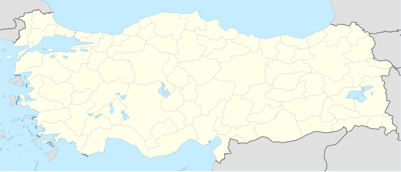
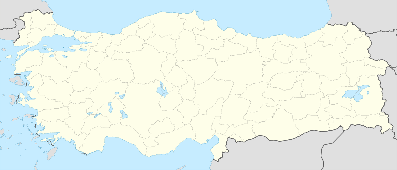
Deutsch: Positionskarte der Türkei
Quadratische Plattkarte, N-S-Streckung 120 %. Geographische Begrenzung der Karte:
English: Location map of Turkey
Equirectangular projection, N/S stretching 120 %. Geographic limits of the map:
|
||
| Datum | |||
| Bron |
Eie werk, using
|
||
| Outeur | NordNordWest | ||
| Ander weergawes |
|
||
| SVG genesis |
|


Lisensiëring
Ek, die outeursreghouer van hierdie werk, publiseer dit onder die volgende lisensie:

|
Toestemming word verleen tot die kopiëring, verspreiding en/of wysiging van hierdie dokument onder die voorwaardes van die GNU-lisensie vir vrye dokumentasie, weergawe 1.2 of enige latere weergawe uitgegee deur die Stigting vir Vrye Sagteware, sonder Invariante Dele, geen Voorbladtekste en geen Agterbladtekste. 'n Kopie van hierdie lisensie is ingesluit in die afdeling getiteld GNU Free Documentation License. |
Hierdie lêer is gelisensieer onder die Creative Commons Erkenning-Insgelyks Deel 3.0 Onoorgedraagde lisensie.
- U is vry:
- om te deel – die werk kopieer, versprei en deurgee
- om te hermeng – om die werk aan te pas
- Onder die volgende voorwaardes:
- naamsvermelding – U moet die nodige krediet gee, 'n skakel na die lisensie verskaf en aandui of daar veranderinge aangebring is. U mag dit op enige redelike manier doen, maar nie op enige manier wat daarop dui dat die lisensiegewer u of u gebruik onderskryf nie.
- insgelyks – As u die materiaal hermix, transformeer of voortbou, moet u u bydraes versprei onder die dieselfde of versoenbare lisensie as die oorspronklike.
U kan die lisensie van u keuse kies.
Lêergeskiedenis
Klik op die datum/tyd om te sien hoe die lêer destyds gelyk het.
| Datum/Tyd | Duimnael | Dimensies | Gebruiker | Opmerking | |
|---|---|---|---|---|---|
| huidig | 08:15, 30 April 2012 | | 1 579 × 677 (976 KG) | NordNordWest | Reverted to version as of 19:49, 19 July 2008, updates by The Emirr destroyed the templates which use this map |
| 08:15, 30 April 2012 |  | 1 579 × 677 (976 KG) | NordNordWest | Reverted to version as of 19:49, 19 July 2008, updates by The Emirr destroyed the templates which use this map | |
| 17:00, 29 April 2012 |  | 1 900 × 823 (1,11 MG) | The Emirr | A river is added. | |
| 16:53, 29 April 2012 |  | 1 900 × 823 (1,11 MG) | The Emirr | All borders and coasts are developed. Lakes and rivers are added. Completely new map. | |
| 16:51, 29 April 2012 |  | 1 900 × 823 (1,11 MG) | The Emirr | All borders and coasts are developed. Lakes and rivers are added. Completely new map. | |
| 18:43, 18 Desember 2011 |  | 1 473 × 655 (10,77 MG) | The Emirr | The borders more official and realistic. | |
| 19:49, 19 Julie 2008 |  | 1 579 × 677 (976 KG) | NordNordWest | {{Information |Description= {{de|Positionskarte der Türkei}} Quadratische Plattkarte, N-S-Streckung 120 %. Geographische Begrenzung der Karte: * N: 42.5° N * S: 35.5° N * W: 25.4° O * O: 45.0° O {{en|Location map of [[:en:Turkey|Turke |
Lêergebruik
Die volgende 9 bladsye gebruik dié lêer:
Globale lêergebruik
Die volgende ander wiki's gebruik hierdie lêer:
- Gebruik in ace.wiki.x.io
- Gebruik in als.wiki.x.io
- Gebruik in am.wiki.x.io
- Gebruik in ar.wiki.x.io
- مراد الثاني
- أفسس
- محمد الفاتح
- إسكي شهر
- سمرنة
- دير مار كبرئيل
- دير مار أوكين
- دير الزعفران
- قالب:خريطة مواقع تركيا
- قائمة مدن تركيا
- بطولة العالم لكرة السلة 2010
- كأس العالم تحت 20 سنة لكرة القدم 2013
- سارد
- كنائس آسيا السبع
- بيرغامون
- ثياتيرا
- قالب:كنائس آسيا السبع
- آلاشهر
- لاوديكيا
- الفتح الإسلامي لأرمينية
- خاتوشا
- قلعة داجلي
- شايونو
- تل طعينات
- كاراتبه
- كوموه
- مستخدم:Hadiu/ملعب
- كاراكا داغ
- سفينة اولوبورون
- Gebruik in arz.wiki.x.io
- Gebruik in av.wiki.x.io
Wys meer globale gebruik van die lêer.